If you are thinking about living near West Ashley Park, your day-to-day routine probably matters as much as the home itself. You want to know how long errands take, what commuting really feels like, where you can grab dinner close to home, and whether green space is part of everyday life or just a nice idea on a map. In West Ashley, those details vary by corridor and neighborhood, so understanding the layout can help you choose a spot that fits how you actually live. Let’s dive in.
What Daily Life Feels Like
West Ashley does not revolve around one single downtown-style center. Instead, daily life is shaped by a mix of residential neighborhoods, commercial corridors, and growing trail connections.
According to the city’s Plan West Ashley implementation update, the area’s long-term approach is to preserve neighborhood character while focusing investment in specific redevelopment and business areas. For you as a buyer, that often means a residential-first feel, with shopping, dining, and services spread across several nearby nodes.
If you are looking around West Ashley Park in particular, that pattern matters. You may enjoy access to a major recreation asset and still find that some errands, restaurants, or services are easiest to reach by car.
West Ashley Commutes
Driving Still Leads
For most residents, driving remains the default. An official corridor study using 2017 ACS data found that 91% of employed West Ashley residents drove to work, while 2% used public transit, 2% biked or walked, and 5% worked from home. That same report listed the average commute at 23 minutes, with longer trips generally affecting residents farther out in West Ashley.
Those numbers come from the Lowcountry Corridor community impact assessment, and they line up with how the area is built. West Ashley is convenient in many ways, but it is still largely organized around road access.
Key Roads Shape the Routine
The area’s main travel routes include Sam Rittenberg Boulevard, Savannah Highway, Ashley River Road, Glenn McConnell Parkway, Bees Ferry Road, and Folly Road Boulevard. The city identifies these as West Ashley’s major corridors in its planning overview.
In practical terms, your experience can differ a lot depending on where you live relative to those roads. Some locations feel close-in and efficient for everyday trips, while areas farther west of I-526 can feel more suburban and more dependent on driving for basics like dining, shopping, and entertainment.
Transit and Trail Options Are Growing
If you prefer to mix in alternatives to driving, West Ashley does have options. CARTA route maps and schedules show regular routes 30, 31, 32, 33, and 301 serving West Ashley, plus the XP2 express route connecting Mt. Pleasant and West Ashley.
At the same time, the city is investing in better bike and pedestrian connections. The Ashley River Crossing project is designed to connect the West Ashley Greenway to Brittlebank Park and the Ashley River Walk, expanding non-car access between West Ashley and downtown Charleston.
Dining And Errands
Expect Several Activity Nodes
One of the easiest ways to understand West Ashley is this: it is not built around one compact commercial center. Instead, retail and restaurant activity is spread across distinct districts such as Avondale, Citadel Mall, Crossroads, and Old Towne District, as referenced in the city’s West Ashley restaurant spotlight materials.
That setup shapes your routine. Instead of walking from one block to the next for everything, you are more likely to make short drives between different corridors depending on whether you need groceries, casual dining, services, or a quick errand stop.
Avondale Offers A Clear Dining Hub
For a more concentrated dining feel, Avondale stands out. The city’s West Ashley business marketing materials describe it as a business district with multiple local favorites and note the presence of three West Ashley breweries.
That matters because it gives part of West Ashley a stronger neighborhood dining identity. The overall restaurant culture in the area tends to serve nearby residents and everyday routines, rather than focusing on a late-night downtown crowd.
Sam Rittenberg Is A Major Everyday Corridor
Sam Rittenberg Boulevard remains one of the most important commercial streets in West Ashley. The city’s Sam Rittenberg Boulevard redesign page describes it as an auto-oriented corridor with redevelopment potential for housing, community services, and a more walkable main-street feel over time.
For you, that signals both convenience and change. Today, it is a practical corridor for errands and services. Over time, it may become a more connected, neighborhood-serving destination.
Ashley Landing Shows Where West Ashley Is Heading
A major example of that shift is Ashley Landing and the nearby Sumar Street site. According to the city’s approved redevelopment announcement, the plan includes a city park, nine acres of stormwater retention, outdoor dining and shopping, groceries, and affordable housing.
City leadership has described it as a one-stop neighborhood destination, and that is a useful clue for buyers watching how West Ashley is evolving. In selected corridors, the area is moving toward more mixed-use, everyday convenience while keeping many residential neighborhoods largely unchanged.
Green Space Near West Ashley Park
West Ashley Park Is A Major Asset
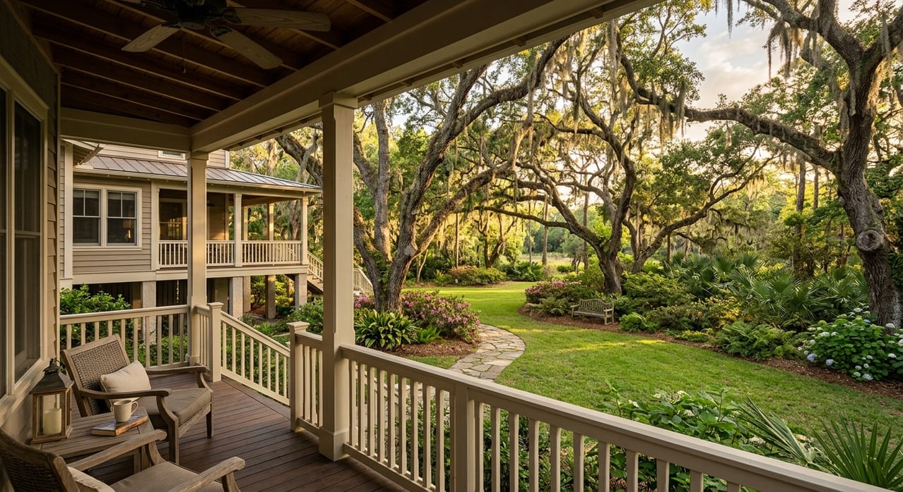
If outdoor space is high on your list, West Ashley Park is one of the area’s biggest lifestyle advantages. The Charleston Parks Conservancy lists the park at 260 acres, making it one of Charleston’s largest recreational parks.
The park includes four championship soccer fields, two playgrounds, an 18-hole disc golf course, lighted youth basketball and softball courts, a dog run, fishing access, and walking and running paths. For many buyers, that kind of recreation space is not just a weekend perk. It becomes part of the weekly rhythm.
The Greenway Adds Daily Flexibility
The West Ashley Greenway and Bikeway stretches 10.5 miles along former railroad beds, connecting neighborhoods between the Stono and Ashley Rivers. The conservancy notes that the corridor can support broader active transportation by helping residents reach goods and services without always needing a car.
That is especially important in an area where driving still dominates. Even if you are not replacing your commute with a bike ride, the trail system can still support walks, runs, and shorter local trips in a way that adds flexibility to everyday life.
Safety And Connectivity Are Improving
The trail network is becoming more useful over time. The city recently added rectangular rapid flashing beacons at several Greenway crossings, and Ashley River Crossing is expected to create a dedicated bicycle and pedestrian link toward downtown Charleston.
Those improvements matter because they make green space more functional, not just scenic. Better crossings and stronger connections can change how often you actually use the system.
How Housing And Lifestyle Connect
Residential First, With Targeted Growth
West Ashley’s planning framework is clear about balancing neighborhood preservation with redevelopment in selected commercial areas. The city’s implementation update emphasizes preserving neighborhood character while directing new development into targeted sites.
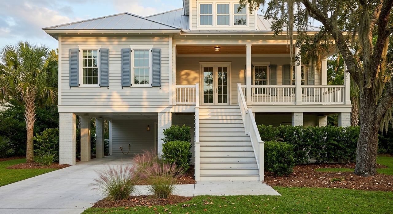
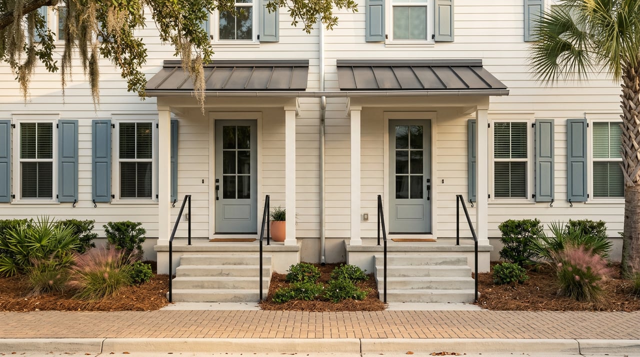
That helps explain why West Ashley often feels residential first. Detached homes remain a familiar part of the area’s identity, while apartments, townhomes, and mixed-use projects are appearing in specific redevelopment zones.
Your Location Shapes Your Routine
City development materials show that housing choice is broadening, with projects such as Overture West Ashley, Marshview Commons, and other development activity. For buyers, the bigger takeaway is not just housing type. It is how housing type connects to convenience.
Inner West Ashley and corridor-adjacent locations may offer easier access to dining, errands, and services. Areas farther west of I-526 may offer a more suburban pattern, but often with greater reliance on the car for day-to-day needs.
What To Consider Before You Buy
If you are comparing homes near West Ashley Park, it helps to think beyond square footage and finishes. A few questions can help you narrow down the right fit:
- How often do you expect to commute during peak traffic hours?
- Do you want quick access to dining districts like Avondale?
- Would you use trails or park amenities several times a week?
- Are you comfortable with a car-oriented routine for errands?
- Do you want to be near evolving mixed-use corridors, or in a more residential setting?
Those answers can tell you a lot about which part of West Ashley will feel the most natural once move-in day is behind you.
West Ashley offers a practical mix of recreation, neighborhood character, and everyday convenience, but it is not one-size-fits-all. If you want help weighing commute patterns, park access, and the feel of different West Ashley areas as part of your home search, Sarah Ellen Lacke can help you navigate the details and find a location that fits your Lowcountry lifestyle.
FAQs
What is commuting like in West Ashley, Charleston?
- Most West Ashley residents drive to work, with an average commute time of 23 minutes according to corridor study data, though commute length can vary depending on how far west you live.
What roads are most important for getting around West Ashley?
- Major corridors include Sam Rittenberg Boulevard, Savannah Highway, Ashley River Road, Glenn McConnell Parkway, Bees Ferry Road, and Folly Road Boulevard.
What dining areas are popular in West Ashley?
- Avondale is one of the clearest neighborhood dining districts, while other shopping and dining activity is spread across places like Crossroads, Citadel Mall, Old Towne District, and Sam Rittenberg Boulevard.
What amenities does West Ashley Park offer?
- West Ashley Park includes 260 acres with soccer fields, playgrounds, disc golf, basketball and softball courts, a dog run, fishing access, and walking and running paths.
How long is the West Ashley Greenway?
- The West Ashley Greenway and Bikeway runs 10.5 miles and connects neighborhoods between the Stono and Ashley Rivers.
How does location affect daily living in West Ashley?
- Locations closer to major corridors and inner West Ashley tend to offer easier access to errands and dining, while areas farther west of I-526 often feel more suburban and more car-dependent.