Thinking about moving to Johns Island? You are not alone, and one of the biggest surprises for many buyers is that Johns Island does not feel like one single neighborhood. Depending on where you look, your day-to-day life can be shaped by bridge access, road corridors, lot size, and how rural or built-up the surrounding area feels. This guide will help you understand those differences so you can focus your search with more confidence. Let’s dive in.
Start With How Johns Island Works
Johns Island is the largest island in South Carolina at about 84 square miles, and that scale matters when you start home shopping. Rather than thinking of it as one uniform market, it is more useful to understand the island by corridor, access point, and land-use pattern.
Local planning documents show that parts of Johns Island fall within the City of Charleston while other sections are in unincorporated Charleston County. They also identify Maybank Highway as the island’s main transportation corridor, with growth focused in certain nodes and an ongoing goal of preserving the island’s rural character, according to the City of Charleston planning documents.
That means two homes with similar prices can offer very different daily routines. In one area, you may be close to shops, services, and major routes. In another, you may find a quieter setting with more open land and a slower pace.
Focus First on Commute Access
If you are relocating, commute patterns are usually the best place to begin. On Johns Island, buyers often compare homes based on how easily they connect to the island’s main bridge routes.
The Stono River Bridge connects James Island to Johns Island over Maybank Highway, while the Limehouse Bridge connects West Ashley and Johns Island. Those two access points shape how convenient a home may feel for your typical drive pattern.
As a practical rule of thumb, homes closer to the Maybank and Stono side usually offer more direct access toward James Island and the Charleston peninsula. Western parts of Johns Island tend to orient more toward Main Road and the Limehouse side. It is not a formal neighborhood boundary, but it is a helpful way to narrow your search.
Why bridge location matters
A map can make two homes look close together, but your real experience may be very different once you factor in roads and bridge access. That is especially true on an island where a few main corridors do much of the work.
When you are comparing properties, ask yourself:
- Which direction do you expect to drive most often?
- Do you want quicker access toward James Island and downtown areas?
- Would the Main Road and West Ashley connection fit your routine better?
- How important is it to be near the island’s main service corridor?
Know the Main Corridors
Johns Island is easiest to understand when you break it into corridor types instead of relying on one broad neighborhood label. Planning materials from Charleston County describe noticeable differences between the Maybank Highway corridor, Main Road, and the island’s more rural interior.
Maybank Highway areas
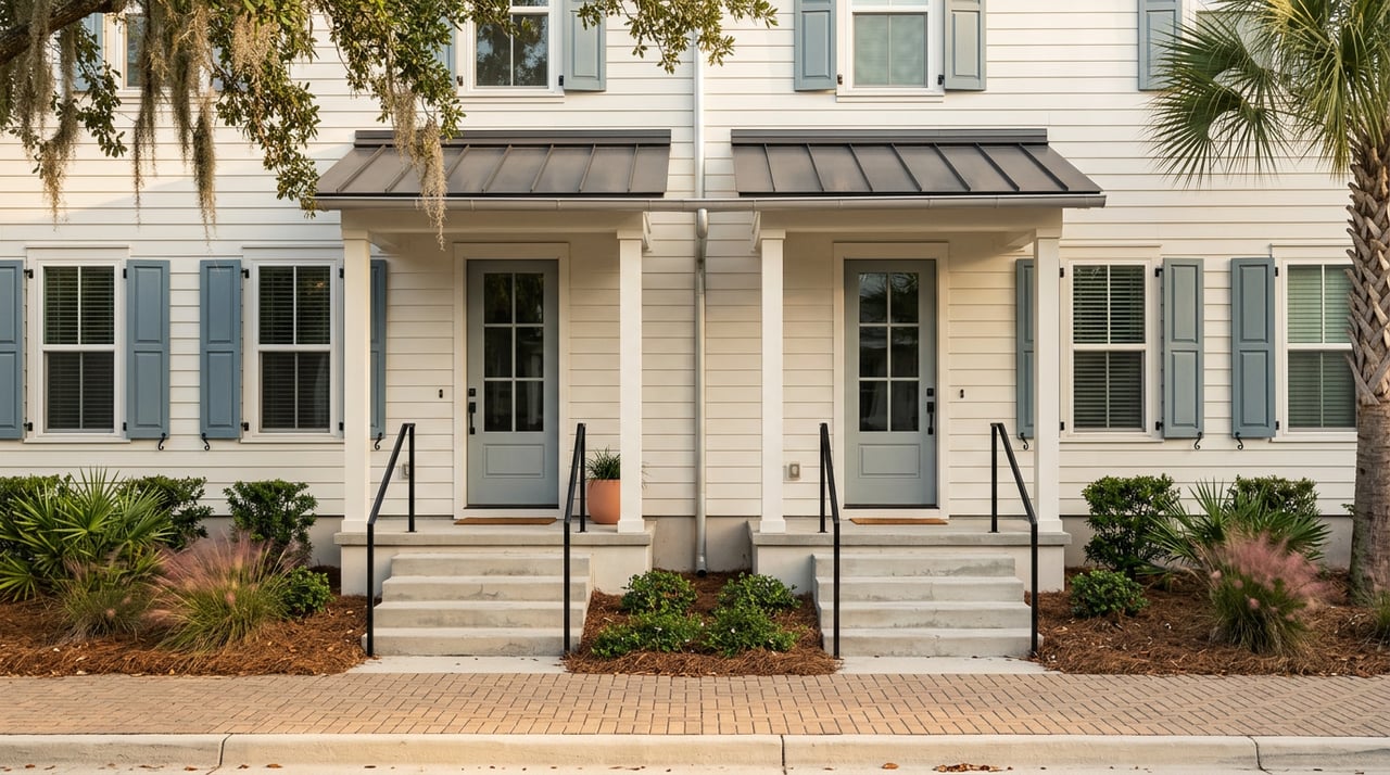
Maybank Highway is the island’s primary corridor, and it tends to be where you will find a more concentrated mix of daily conveniences and residential variety. County planning documents describe older single-family homes, subdivision entrances set back from the road, apartment complexes, and commercial uses like shops, restaurants, and offices along this corridor.
Overlay districts along Maybank also allow mixed-use nodes and more intensive development in select areas. In some locations, that can mean smaller lots, attached housing, duplexes, townhouses, or homes closer to convenience services, based on Charleston County zoning workshop materials.
For many relocating buyers, this part of Johns Island feels more practical for everyday errands and access. If you want to stay connected to the island’s main services, Maybank is often where your search starts.
Main Road areas
Main Road has a different pattern. County planning materials describe a transition from rural and agricultural residential uses into pockets of commercial, light industrial, and some newer multi-family development.
The character here can shift quickly depending on where you are. Some areas feel more rural and spread out, while others are tied closely to the corridor and bridge connection toward West Ashley.
For buyers who want access through the Limehouse side, Main Road can be a useful area to study closely. It may also offer a different balance between convenience and open space depending on the property and its exact surroundings.
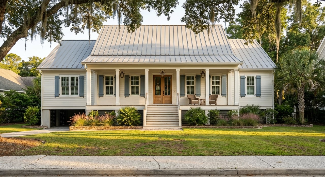
Rural interior areas
Outside the main corridors, Johns Island remains strongly defined by rural agricultural and rural residential land patterns. Charleston County planning materials note that outside the Urban Growth Boundary, the island is described as almost entirely rural agricultural and rural residential, while even within that boundary much of Johns Island remains rural residential.
This is where lot size and nearby land use become especially important. A home may sit near agricultural land, conservation-style settings, or lower-density residential uses that feel very different from a corridor-based subdivision or mixed-use node.
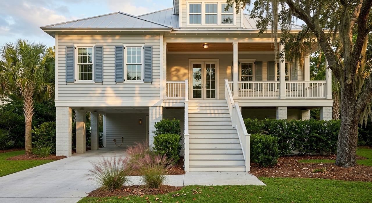
Compare Lot Size and Surroundings
On Johns Island, lot size is not just about square footage on paper. It is also about what surrounds the property and how that setting affects your daily life.
In more rural areas, you may find larger lots and lower-density surroundings. In corridor nodes, you may see smaller lots, attached housing, or a more mixed-use environment. That is why zoning and corridor context matter so much when you are relocating.
Questions to ask about any property
Before you fall in love with a house, look beyond the home itself and ask:
- Is the property in a more rural or corridor-based setting?
- What are the surrounding land uses?
- Does the road network support your normal routine?
- Is the area within the City of Charleston or unincorporated Charleston County?
- How might nearby growth affect the feel of the area over time?
These questions can help you avoid surprises. They also make it easier to compare homes that may look similar online but live very differently in person.
Look at Everyday Convenience
If you are moving from out of town, daily convenience matters just as much as home style. One helpful marker is the Johns Island Library, located at 3531 Maybank Highway, which reopened in 2021 after renovation. Its location is a reminder that some core services are anchored directly along the island’s main corridor.
Outdoor amenities are also a major part of life on Johns Island. Johns Island County Park spans 738 acres and includes walking trails, equestrian trails, disc golf, archery, and the Mullet Hall Equestrian Center.
Stono River County Park sits at the foot of the Limehouse Bridge and offers trails, marsh boardwalks, bike racks, and a trailhead connection to the West Ashley Greenway. Johns Island is also home to Angel Oak Park, one of the island’s signature public landmarks.
These places do not define every home search, but they do help illustrate the island’s lifestyle mix. You can find practical daily services along key corridors while still having access to meaningful outdoor recreation and open space.
Watch for Future Changes
Relocating buyers should not just look at what Johns Island feels like today. It is also smart to look at what is planned over the next several years.
Charleston County is moving forward with the Maybank Highway improvement project, which includes widening from River Road to the Stono River Bridge and adding an outbound lane. The Main Road Segment A project will also widen the existing Limehouse Bridge to four travel lanes and add a multi-use path over the Stono River.
The City of Charleston is also planning a Johns Island Recreation and Aquatic Facility, a roughly 50,000-square-foot project expected to include a pool, courts, a yoga studio, and outdoor recreation space. Construction is currently expected to begin in the third quarter of 2026 and finish in late 2027.
Growth planning, transportation work, and public investment all point to continued change. When you are evaluating a property, it helps to think about both current conditions and what the surrounding area may look like in a few years.
Keep Flooding and Infrastructure in Mind
Practical relocation planning on Johns Island should also include questions about drainage, stormwater, and road access. Local planning documents identify flooding, drainage, and stormwater as active issues on the island, which makes site-specific due diligence especially important.
Public safety services are organized locally as well. Charleston County’s fire district information lists the Johns Fire District station on Maybank Highway serving unincorporated Johns Island and nearby sea islands.
This does not mean every property has the same risks or conditions. It means you should evaluate each lot, access route, and surrounding infrastructure carefully, especially if you are buying from out of state and learning the area from a distance.
A Practical Way to Narrow Your Search
If Johns Island feels broad at first, that is normal. The easiest way to make it manageable is to narrow your search in this order:
- Choose your likely commute direction based on the bridge access you expect to use most.
- Decide on your setting preference between corridor convenience and a quieter rural feel.
- Compare lot type and surrounding land use so you understand how each property really lives.
- Review nearby growth and infrastructure plans for a clearer long-term picture.
- Confirm jurisdiction and location details since city and county areas can differ.
That approach usually gives you a much clearer picture than searching by one broad neighborhood name alone.
If you want help comparing the parts of Johns Island that fit your routine, lifestyle, and long-term goals, Sarah Ellen Lacke offers hands-on relocation guidance with local insight and a practical, island-first perspective.
FAQs
What is the best way to start a home search on Johns Island?
- Start by comparing commute patterns and bridge access, then decide whether you prefer Maybank corridor convenience, Main Road access, or a more rural interior setting.
What should relocating buyers know about Johns Island neighborhoods?
- Johns Island is not one uniform neighborhood market. It is better understood by road corridor, bridge access, lot type, and surrounding land use.
What is the difference between Maybank Highway and Main Road on Johns Island?
- Maybank Highway is the island’s main corridor with a mix of homes, services, and mixed-use nodes, while Main Road includes a transition between rural residential areas and pockets of commercial and newer development.
What amenities are available on Johns Island for daily life?
- Johns Island offers everyday service markers like the Johns Island Library, plus outdoor amenities such as Johns Island County Park, Stono River County Park, and Angel Oak Park.
What future development should buyers watch on Johns Island?
- Buyers should pay attention to the Maybank Highway project, Limehouse Bridge and Main Road improvements, the planned Johns Island Recreation and Aquatic Facility, and broader stormwater and resilience planning.
Why does lot size matter so much on Johns Island?
- Lot size often reflects a larger difference in setting, including rural land patterns, corridor density, nearby agricultural uses, and the overall feel of the surrounding area.