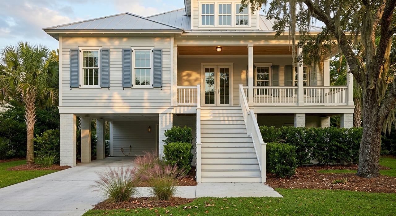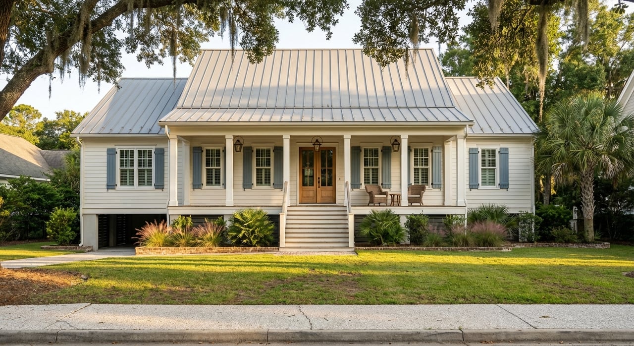
Are you torn between a peaceful tidal creek view and the convenience of true deep-water access on Johns Island? You’re not alone. The choice shapes your daily boating, your maintenance budget, and your long-term resale. In this guide, you’ll learn how tides, depth, docks, permitting, insurance, and value differ so you can match the right lot to your lifestyle. Let’s dive in.
Johns Island water basics
Johns Island sits in a semi-diurnal tide zone, which means two high and two low tides each day. Local tidal ranges typically swing several feet, and depth at low tide can be very different from high tide. Navigation depths are measured from Mean Lower Low Water (MLLW), so you should evaluate water depth at the lowest predicted tide.
Nearby waterways include the Stono River, Bohicket Creek, and side channels off the Kiawah River. Deep-water parcels on these corridors often connect to maintained channels more directly. Many tidal-creek lots are tucked in narrower, winding creeks that can shoal and may expose mudflats at lower tides.
Storms can shift sandbars and shoals, and oyster beds or submerged aquatic vegetation may limit dredging or anchoring. Conditions vary creek by creek, so always verify local depths and seasonal changes before you buy.
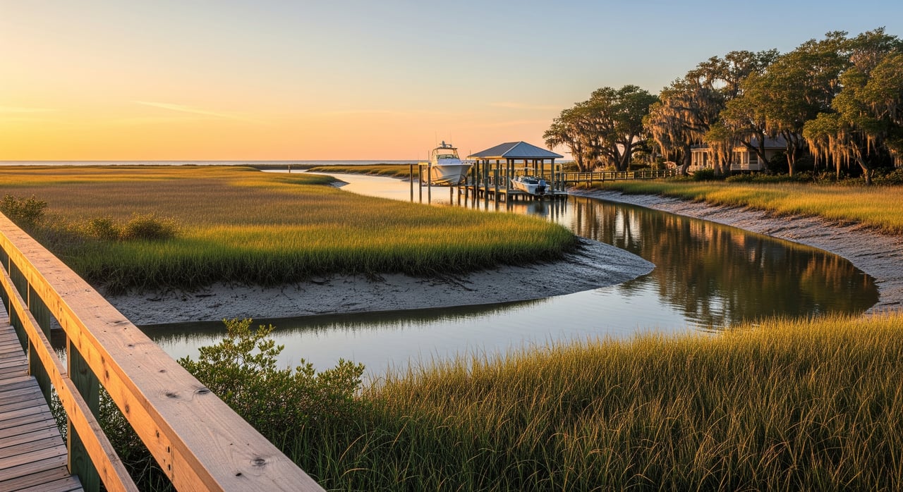
Tidal creek vs deep water
Tidal-creek lots
- Best for quiet paddling, birding, and small skiffs.
- Often more sheltered and scenic with less boat wake.
- Trips with larger boats may require timing departures around tide windows.
- Access routes may be longer and shallower.
Deep-water lots
- Best for larger powerboats and keelboats needing consistent depth.
- Shorter, more predictable runs to open water and marinas.
- Typically support more substantial docks or lifts where conditions allow.
- May experience more wind and surge exposure.
Boat draft and depth
Boat choice drives what kind of lot works for you. As a quick guide:
- Human-powered (kayak, paddleboard): negligible draft. Usable in most creeks, even near low tide where there is some water.
- Small skiff/jon boat: about 6–18 inches. Usually fine in many creeks at mid to high tide.
- Center-console/bay boats: about 1.5–3.5 feet. Look for at least 2–4 feet of depth at MLLW for dependable access.
- Larger cruisers and keelboats: 3–6+ feet. Prefer true deep-water with reliable depths well below MLLW.
A practical rule: plan around the lowest tide. If you want all-tide access for a larger boat, you’ll need several feet of water depth at MLLW at your dock and along your route.
Dock types and fit
Dock style depends on energy, tide, and depth at your shoreline.
- Floating docks: rise and fall with the tide and keep boarding easy. In high-energy sites they may be less ideal, and some lifts are trickier to integrate.
- Fixed pile docks: stable for walking and can support lifts or small roofed structures where allowed. You need safe clearance at low tide and careful planning for ramp angles.
- Boat lifts: great for hull protection and everyday convenience. They require adequate depth at all tide stages for safe launch and retrieval.
- Community docks and moorings: lower maintenance and often more affordable than private deep slips. These may have waitlists, fees, or size rules.
Permits and environmental rules
Waterfront work in coastal South Carolina involves several agencies and reviews.
- SCDHEC OCRM: oversees coastal dock structures, living shorelines, and buffer rules.
- U.S. Army Corps of Engineers: regulates work in navigable waters and dredging or fill.
- SCDNR: protects shellfish beds, fisheries, and seagrass resources that can limit dredging.
- Charleston County: handles local building permits, setbacks, and floodplain management.
- FEMA: flood zones and elevation certificates that can affect both permits and insurance.
Expect limits on dock length and size, and a review if a structure extends into navigable channels. Private ownership typically ends at the mean high-water line, and riparian rights must be verified in the deed. Dredging is closely regulated and may be restricted near oyster or seagrass habitat. Regulators often prefer living shoreline techniques over new hard bulkheads.
Timelines vary. A simple private dock in a low-sensitivity area can take weeks to a few months. Dredging or larger structures can require multi-agency review and stretch into many months or longer.
Maintenance and costs
Waterfront ownership involves ongoing care. Common tasks include:
- Dock and piling upkeep: inspect fasteners, decking, and piles every few years depending on materials and exposure.
- Lift service: plan on annual servicing, corrosion control, and occasional parts replacement.
- Dredging: highly site-specific and can range from tens of thousands to much higher. Frequency depends on sedimentation and channel conditions.
- Living shoreline care: plant maintenance and periodic inspections.
- Storm repair: docks and lifts may need repair after major storms.
Costs depend on length, materials, wave energy, and access. A boat lift can add roughly tens of thousands of dollars depending on size and type. Always get bids from local marine contractors before you commit.
Insurance and flood zones
Flood zone classification and elevation drive your insurance picture. Properties in V zones often face higher flood insurance costs than in AE zones. Deep-water frontage can bring more surge exposure, but true risk depends on site elevation and design.
Confirm whether a dock is covered under your policy and whether there are windstorm deductibles or exclusions. An elevation certificate is often required and will help you understand true flood risk and premium scenarios.
Resale and value
Both lot types can sell well when matched to the right buyer.
- Deep-water lots: command a premium with boating buyers who need consistent, year-round access for larger boats. Potential tradeoff is higher surge exposure and insurance cost.
- Tidal-creek lots: appeal to buyers who value privacy, marsh views, and paddling over big-boat use. The buyer pool can be narrower for larger-boat owners.
Resale strength also depends on riparian rights, documented permits and compliance, dredging history, HOA rules, and whether there are community dock privileges.
Buyer checklist
Before you make an offer, confirm the essentials:
- Title and riparian rights: verify the deed grants the right to build or use a dock.
- Boundary and shoreline survey: show mean high- and low-water lines and dock location relative to property lines.
- Bathymetry at MLLW: get a recent depth survey at your dock site and along your route.
- Permit history: collect any dock, USACE, and dredging permits and maintenance records.
- Protected resources: check for oyster beds or seagrass that could limit construction or dredging.
- Flood maps and elevation: review FEMA panels and obtain an elevation certificate if needed.
- HOA and community rules: confirm dock policies, waitlists, and size limits.
- Insurance quotes: obtain flood and homeowners quotes that reflect the dock and location.
Common buyer scenarios
- You plan to run a 24–30 foot center-console often: focus on deep-water lots with 3–4+ feet at MLLW and a clear route. Confirm depths with a bathymetric survey.
- You love kayaking and occasional skiff rides: a tidal-creek lot can be ideal, with sheltered water and scenic marsh views.
- You want fewer permitting and maintenance headaches: look for lots with an existing, compliant dock in good condition or properties with community dock access.
Final thoughts
The right Johns Island waterfront depends on how you boat, your tolerance for maintenance, and your long-term plans. If you want reliable, all-tide access for larger boats, deep water is worth the premium. If you favor quiet paddles and marsh life with a smaller craft, a tidal-creek lot can deliver everyday joy at potentially lower overall cost.
Ready to evaluate specific properties, review dock permits, and line up local marine experts? Connect with Sarah Ellen Lacke for hands-on guidance tailored to your boat, budget, and Lowcountry lifestyle.
FAQs
What defines deep-water access on Johns Island?
- Deep water generally means reliable depths of several feet at MLLW at the dock and along the route, suitable for larger powerboats or keelboats without timing trips around tides.
How do Johns Island tides affect a tidal-creek dock?
- Semi-diurnal tides can drop several feet, exposing mudflats at low tide; you may need to plan departures and returns during mid to high tide for larger or deeper-draft boats.
Who permits docks and lifts in Charleston County?
- SCDHEC OCRM and the U.S. Army Corps of Engineers review most coastal docks and lifts, with Charleston County handling local building and floodplain approvals.
Can I dredge a shallow creek by my lot?
- Dredging requires multiple permits and may be restricted or prohibited near oyster beds or submerged aquatic vegetation; timelines can extend many months.
What insurance costs should I expect on a deep-water lot?
- Policies vary by flood zone and elevation; V zones often cost more than AE zones, and you should confirm dock coverage and windstorm deductibles with your insurer.
Do community docks reduce maintenance and cost?
- Yes, community or neighborhood docks shift upkeep to an association, though you may face rules, fees, or waitlists and should confirm access rights before buying.